
LiDAR, UAV and GIS used for Slope Stability Assessment
Geoff Davis has recently been working on another coastal caravan site with slope stability problems.
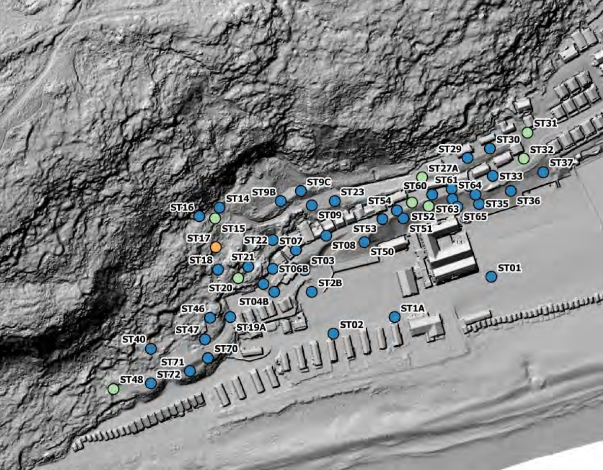
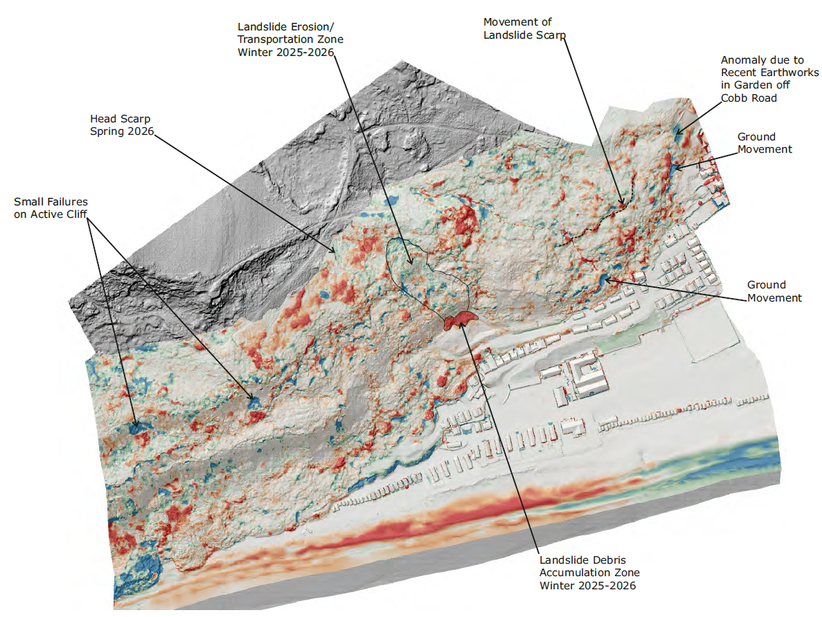
On this site, Lewis Brown Chartered Land Surveyors used remote sensing (LiDAR (Light Detection and Ranging)) from a UAV (unmanned aerial vehicle) to help understand the locations and magnitude of ground movements.
Ruddlesden geotechnical then used GIS (Geographic Information System) to highlight areas of concern, to quantify the degree of movement, which might have otherwise been missed.
These technologies have been great in helping us understand the landslide processes at this site and, equally importantly, convey to others what is happening. However, they are of little use without a detailed understanding of the geological and geomorphological processes, which inform the all-important ground model, i.e. they should be seen as a useful tool to help us understand and communicate landslide processes, rather than a replacement for the understanding of them.